



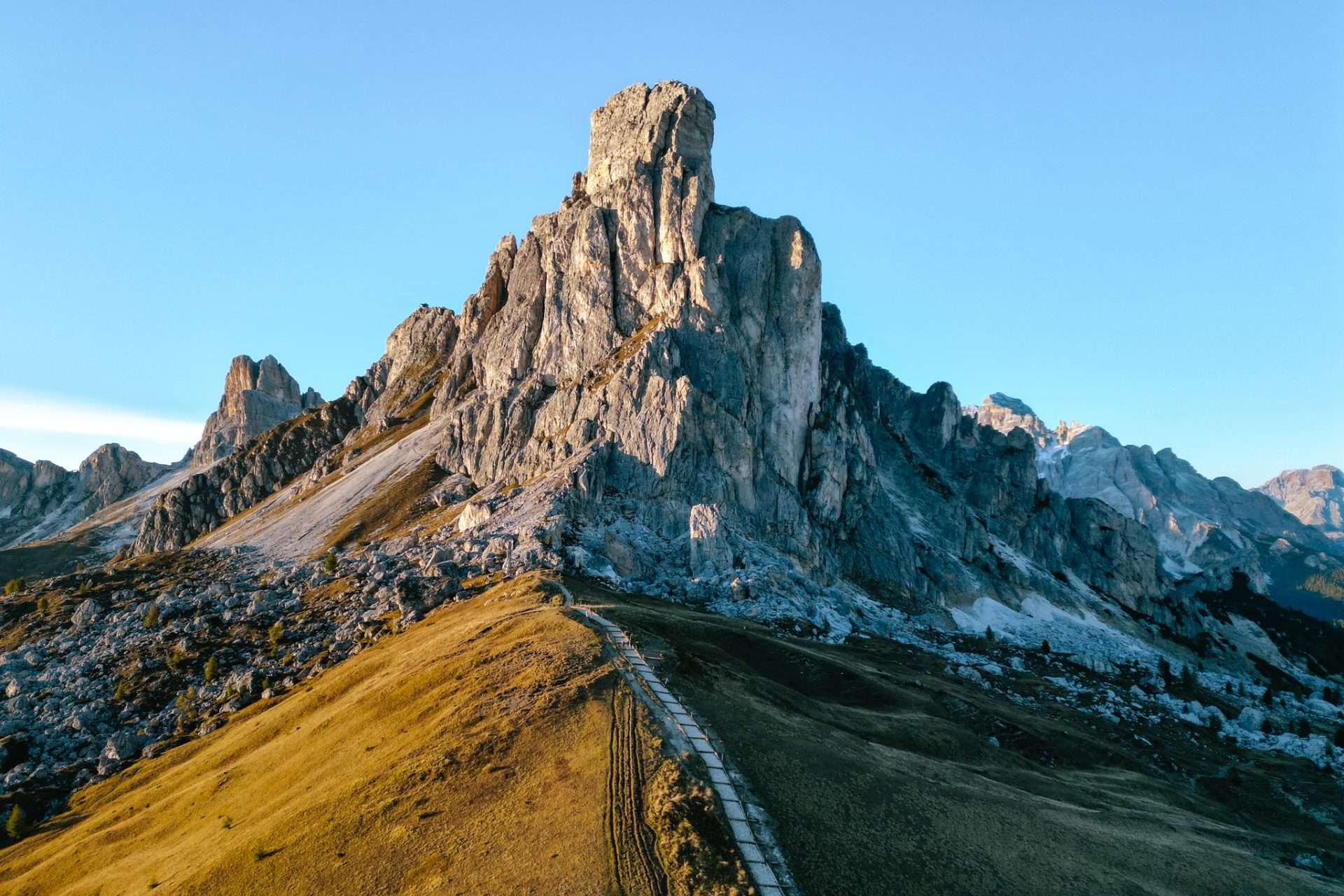
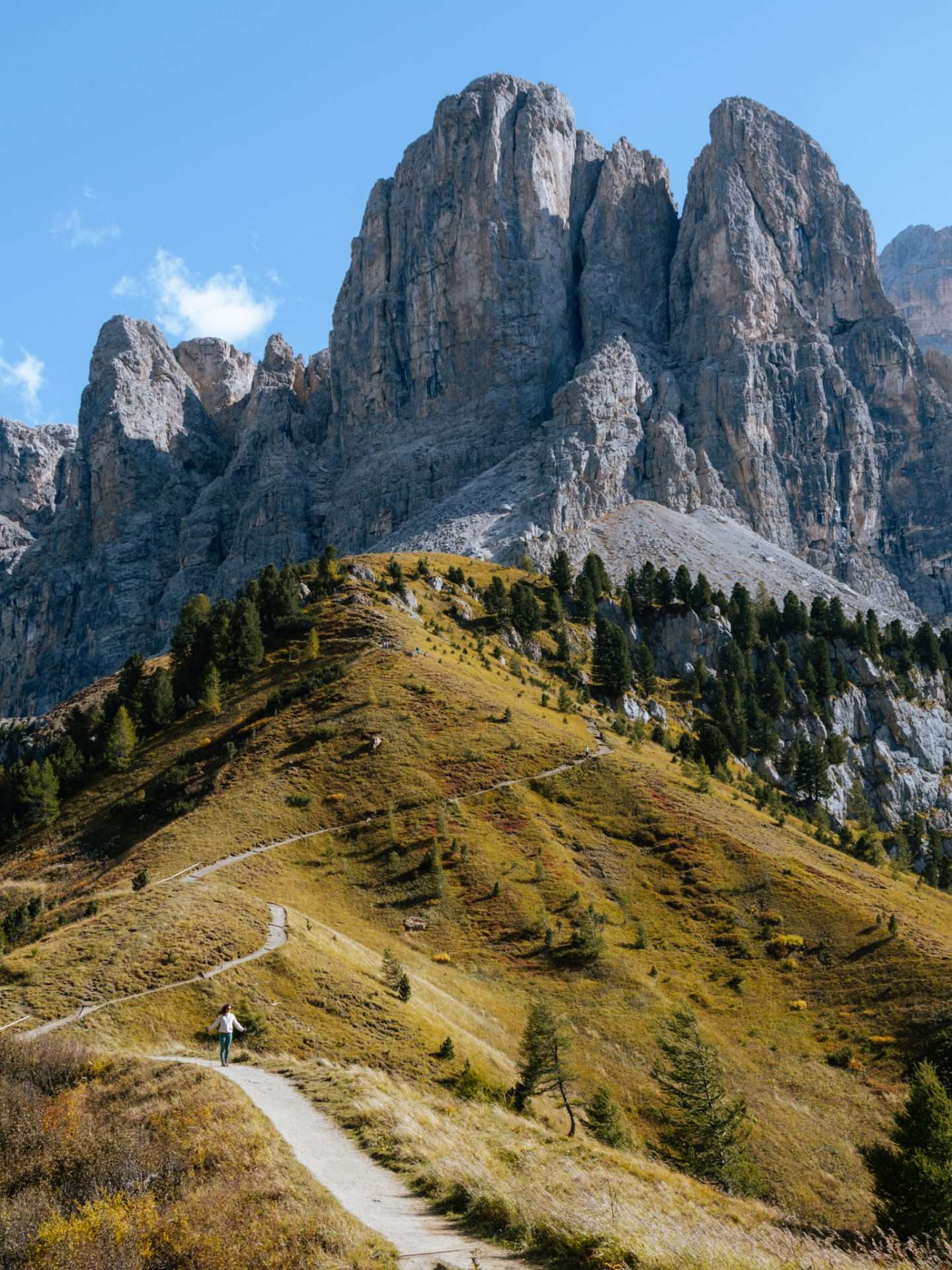
If we had to describe a hiking paradise, the Dolomites in Italy would certainly fit the bill. Here you hike across fairytale alpine meadows with adorable mountain huts. In the background, the razor-sharp mountains of the Dolomites show off and you can hear the soothing sound of cowbells. Whether you’re a novice hiker or looking for challenging, multi-day treks, you’ll find it all in the Dolomites. Are you going to the Dolomites for the first time? Then read here what are the best hikes to do in the Dolomites, how to get there and more practical tips!
How to visit the Dolomites in Italy
The Dolomites are an impressive mountain range in northern Italy, covering more than 140,000 hectares spread across South Tyrol, Trentino and Veneto. With their spectacular panoramas, endless hiking trails and cozy mountain huts, they are a popular destination for nature lovers all year round. Not for nothing have the Dolomites been on the UNESCO World Heritage List since 2009 and are one of the most beautiful places in Europe.


So the Dolomites are huge, but the hikes we describe are all within reasonable driving distance of each other. The Dolomites are easiest to explore from Bolzano or Venice, two cities with international airports. From there, you can rent a car or motorhome rental toward the mountains. Bolzano, also called Bozen, is the capital of South Tyrol and in less than half an hour’s drive you are already at some of the most beautiful scenery in the Dolomites. If you choose Venice, you’ll drive to the Dolomites in about three hours.

7 most beautiful hikes in the Dolomites, Italy
In the Dolomites you can do endless hiking. From simple hikes accessible to young and old to multi-day treks that challenge your fitness. In this article, we focus on the most beautiful hikes in the Dolomites that you can do in one day. We include how to get there, what the hike entails and more helpful tips.
1) Geisler Alm – Adolf Munkel trail
Level: Easy/Medium ● Duration: 3 to 4 hours ● Distance: 9.2 km (loop) ● Altimeters: 400m
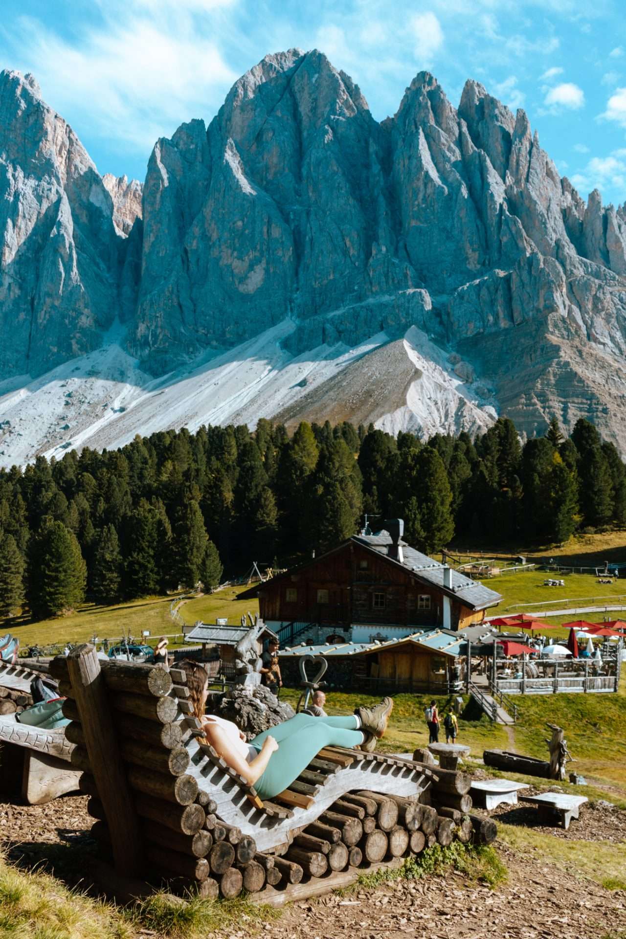
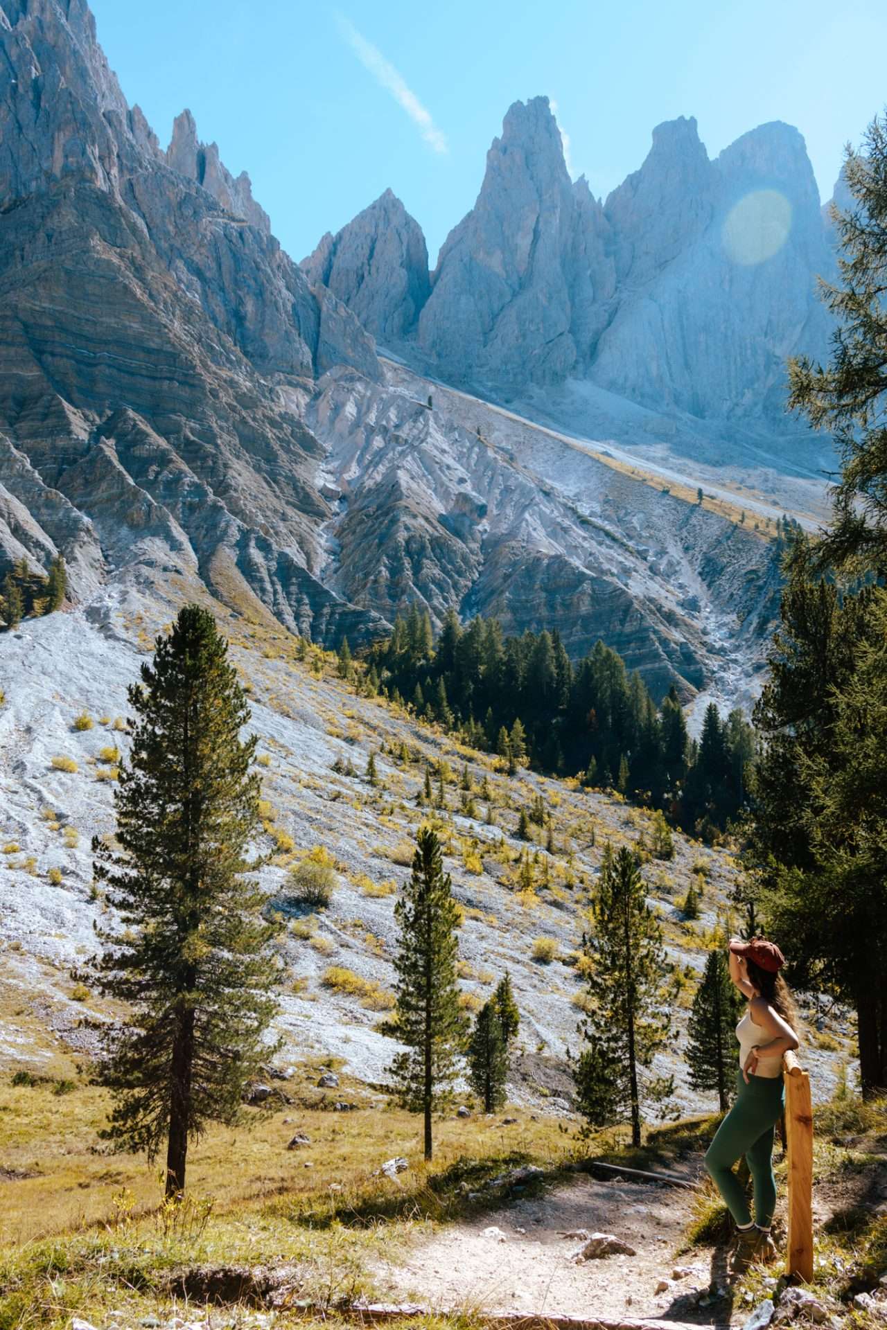
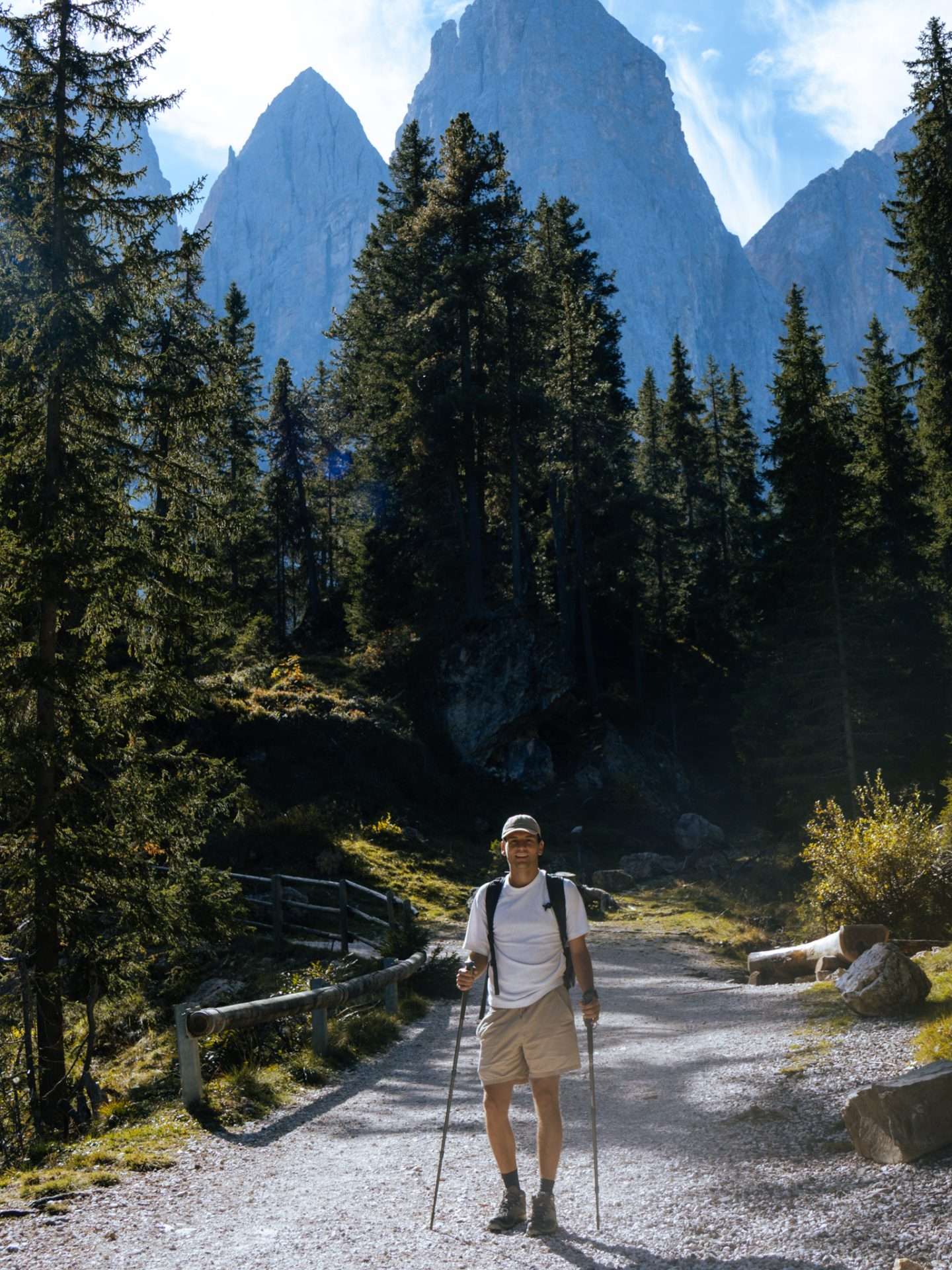
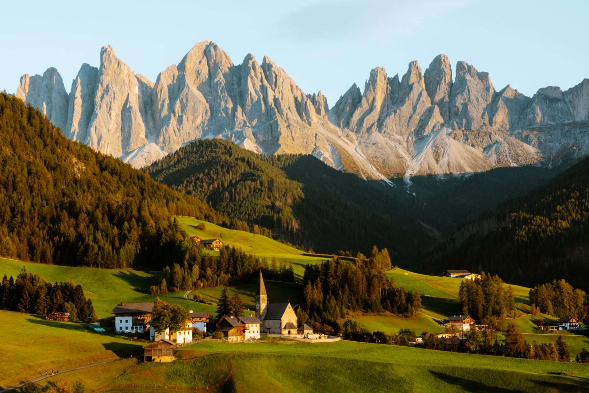
We found the Adolf Munkel trail to be one of the most beautiful hikes in the Dolomites. This accessible hike of about 10 km takes you past vast alpine meadows, pine forests and the imposing Odle mountain group. The highlight of this hike is the photogenic mountain hut Geisler Alm or Rifugio Odle. While enjoying a delicious Kaiserschmarren you look out on the dramatic Geisler peaks in the background. Here you will also find the famous wooden loungers, in our opinion the best place to catch your breath while hiking.
TRAVEL TIP: On Mondays, the Geisler Alm mountain hut is closed in the summer. You’ll find another cozy hut called Malga Casnago nearby, though.
How do you get to Geisler Alm?
Start walk: Malga Zannes parking lot (route no. 35)
The start of the walk is located at the Malga Zannes parking lot in Val di Funes. We recommend arriving early to ensure a spot. For a car you pay €10, for a camper it is €16 for a full day. By public transportation, you can take bus 330 which runs from the town of Brixen to the parking lot. From the parking lot you then follow route 35 to the Geisler Alm mountain hut. The hike is well marked everywhere.

2) Alpe di Siusi – Meadows trail
Level: Easy/Medium ● Duration: 3 to 4 hours ● Distance: 14 km (loop) ● Altimeters: 300m
Alpe di Siusi or Seiser Alm is a place you must have seen when traveling to the Dolomites. When you think of the Dolomites, this is undoubtedly the image that comes to mind. Alpe di Siusi is the largest alpine pasture in Europe and here you will find several wooden huts scattered in the landscape. You can follow several hikes here, but the meadows trail lets you see the best of the area. This accessible hike makes a loop across the alpine meadow passing several mountain huts along the way.


How do you get to Alpe di Siusi?
Start of hike: Ortisei – Alpe di Siusi gondola station
It is important to know that during the high season (late May to early November), driving to Alpe di Siusi between 09:00 and 17:00 is not allowed. The best option is to park your car or camper at this parking lot (€15) from where it is another 45-minute walk to the alpine meadow or at parking P2 in Compatsch (€26.50). Another option is to take the cable car from Ortisei which goes daily between 08:00 and 17:00 or 18:00. The meadows trail starts at this gondola station.

3) Sass de Putia hike (Peitlerkofel – Passo El Erbe)
Level: Average ● Duration: 4 to 5 hours ● Distance: 12.8 km (loop) ● Altimeters: 640m
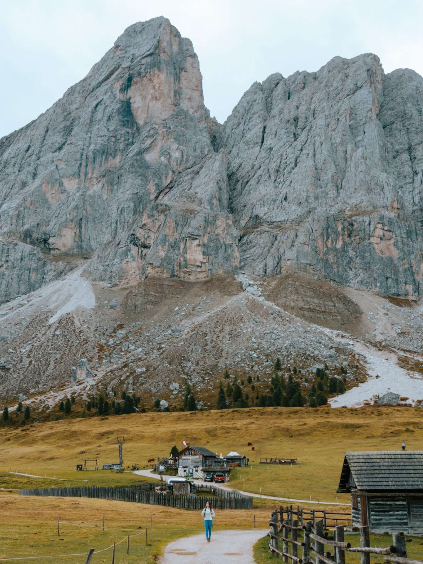
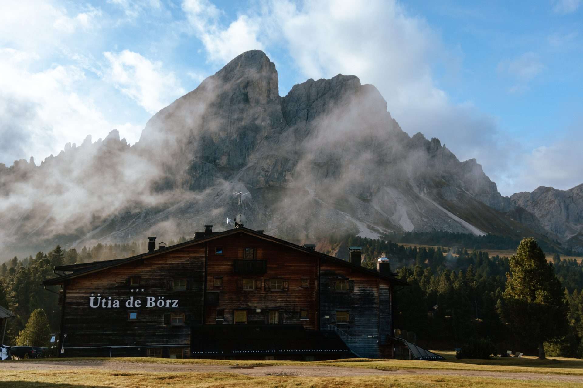
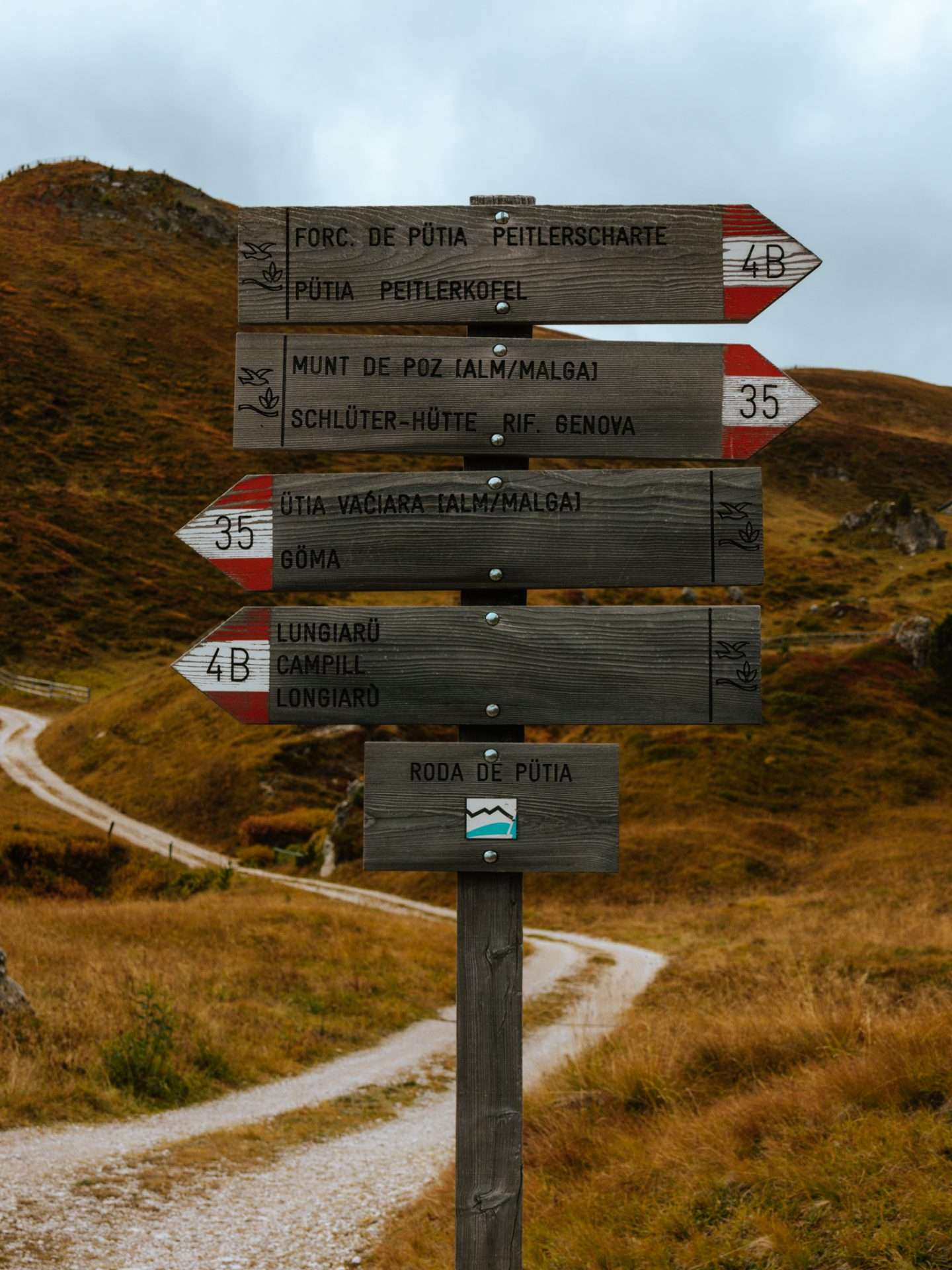
We found the Sass de Putia hike in the Puez-Odle Nature Park to be one of the most beautiful hikes in the Dolomites. This hike goes around Mount Sass de Putia, or Peitlerkofel in German, and is not yet as well known as the other hikes making it much quieter. But the landscapes are at least as impressive. The hike starts at the Passo delle Erbe mountain pass and is best done counterclockwise so you have the most difficult part first. After a tough climb you will arrive at the ridge Forcella de Putia.
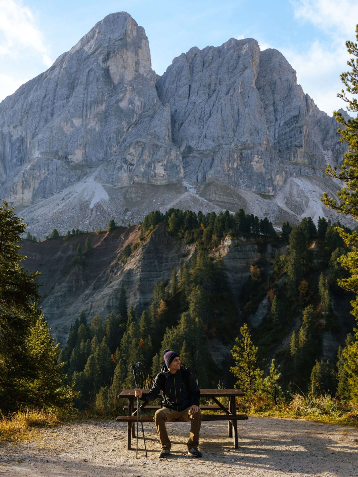
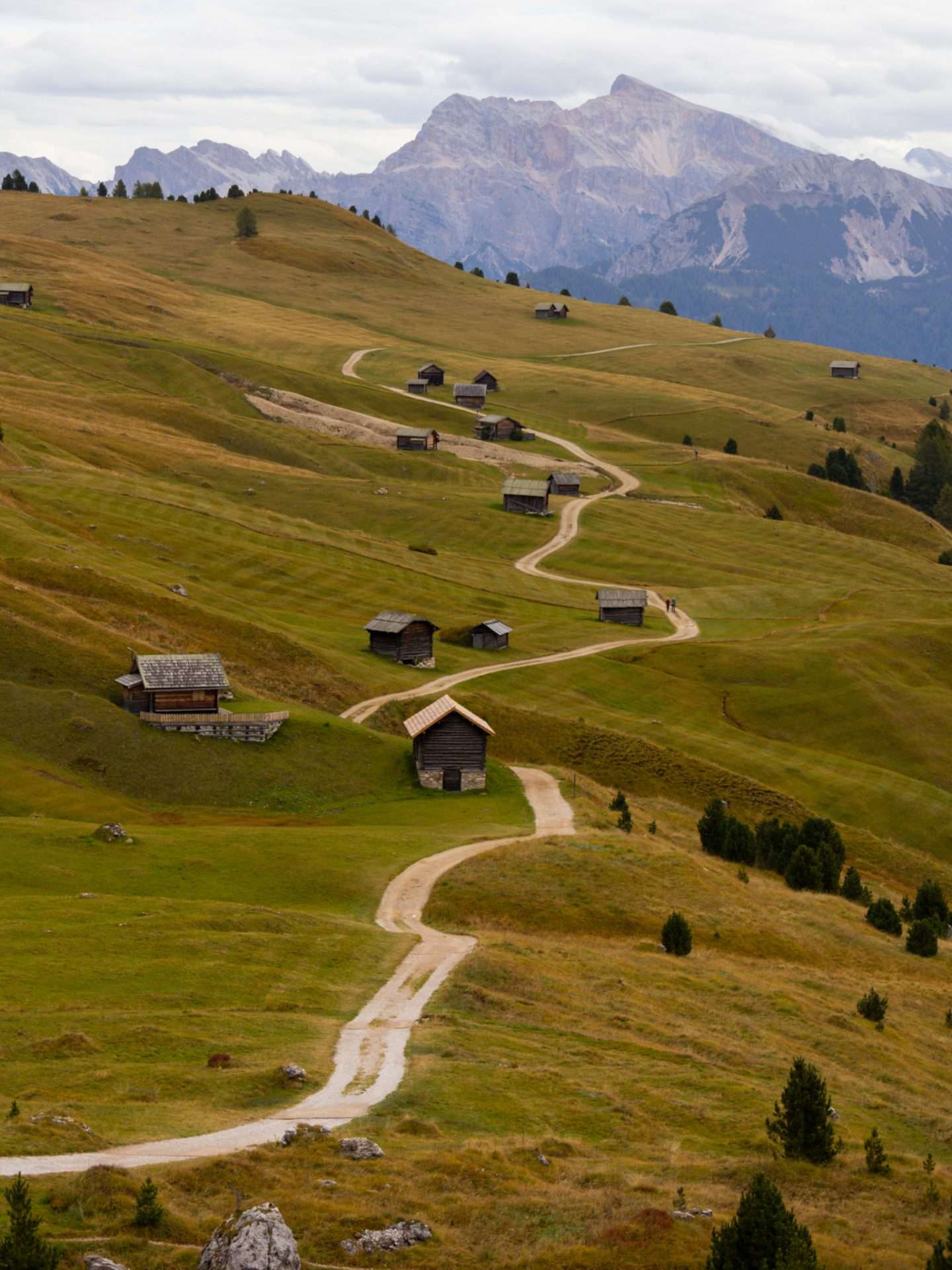
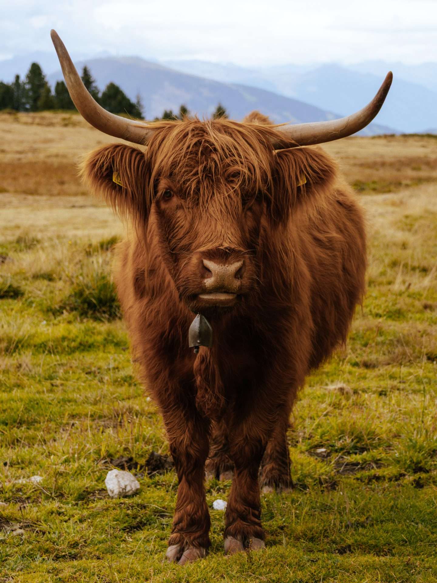
Those who want a challenge here can choose to hike further up to the top of Sass de Putia, but keep in mind that this does include some via ferrata sections. If you do this then return via the same path and then continue the loop back towards Passo delle Erbe. From Forcella de Putia the path descends over rolling alpine meadows dotted with huts and you will pass by mountain huts Ütia de Göma and Ütia Vaciara where you can eat and drink something. At the end of the hike you will also pass Scottish Highland cows grazing peacefully near the Munt de Fornella hut.
How do you get Sass de Putia?
Start of hike: mountain hut Utia de Borz on Passo delle Erbe – route 8A
The Sass de Putia hike starts at the cozy mountain hut Utia de Borz on the mountain pass Passo delle Erbe. Right opposite the hut you have a large parking lot where you can park your car. Between 07:00 and 14:00 you have to pay here, but after 14:00 it is free. At the parking you will see a wooden sign with information about the area and this is where the hiking trail starts.
4) Lago di Sorapis
Level: Average ● Duration: 5 to 6 hours ● Distance: 13.2 (there and back) ● Altimeters: 530m
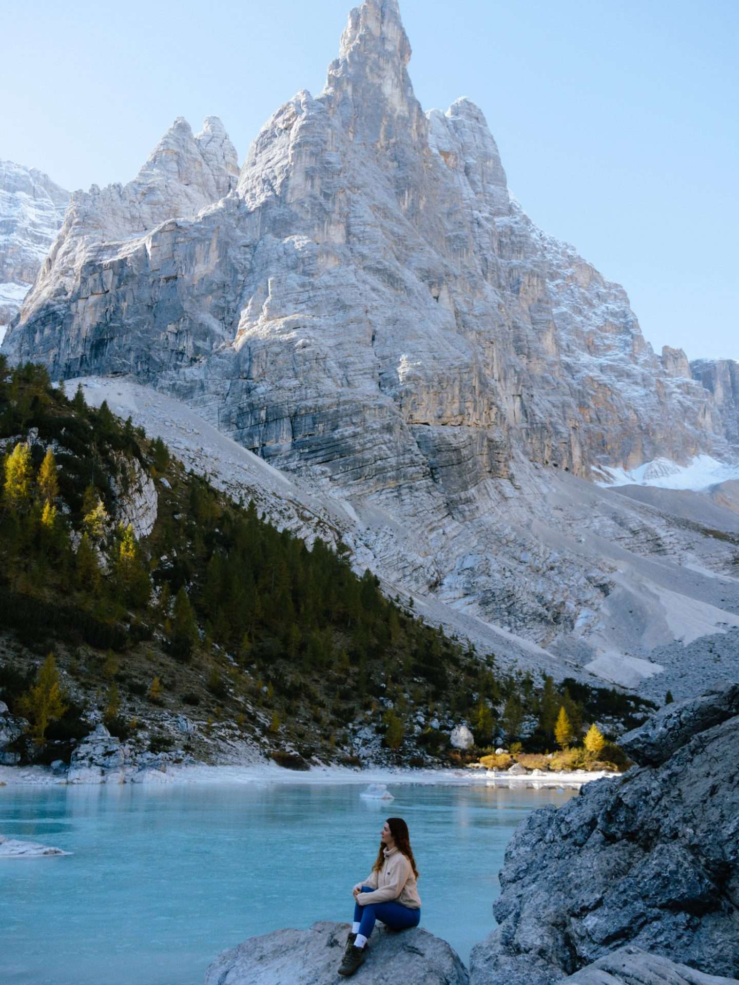
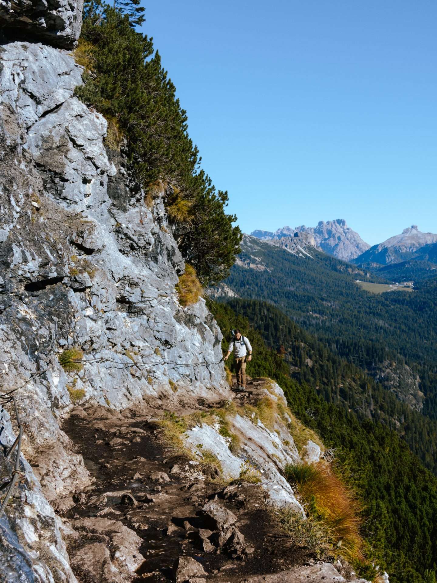
Lago di Sorapis is one of the most beautiful blue mountain lakes in the Dolomites. The turquoise lake stands out brightly against the surrounding, steep limestone rocks which makes it tremendously photogenic. To reach this remote lake, you first hike a flat stretch through the forest where, on your left, you immediately have beautiful views of the surroundings. After a few kilometers you will encounter some steeper sections where you can hold on with iron cables. This is on narrower paths along a steep precipice which can be exciting if you are afraid of heights. But overall we found this hike to be very good. The hike is always well marked with white and red stripes. Once you arrive at the lake, you can hike around it, with it getting quieter the further you hike.

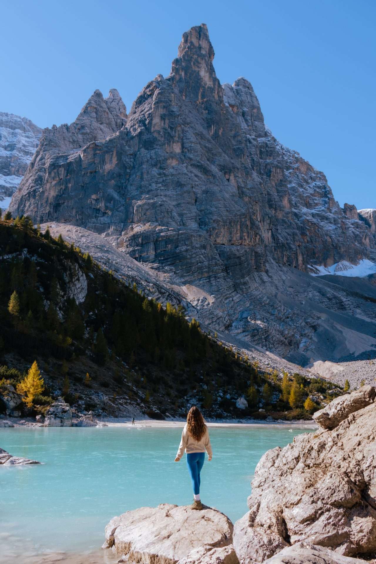
You will also find near the lake a mountain hut called RifugioVandelli that is open between June 20 and September 20. Ideal to have a lunch break here after the tough climb to the lake. If you’re here outside this period, we recommend bringing a picnic so you can eat it at the lake.
How do you get to Lago di Sorapis?
Start hike: Passo Tre Croci – route 215(this is the exact starting point).
The lake is near the town of Cortina d’Ampezzo, a good base if you want to explore the Dolomites. The start of the hike is on the Passo Tre Croci mountain pass, near B&B Passo Tre Croci. Here you can park your car for free along the road. In high season it can be full here very quickly. We parked our campervan at this location, a large free parking lot from which you can walk on foot towards the start of the hike.
5) Tre Cime di Lavaredo / Drei Zinnen hike.
Level: Easy/Medium ● Duration: 4 hours ● Distance: 9.7 (loop) ● Altimeters: 430m
The Tre Cime di Lavaredo hike is the walk of hikes in the Dolomites. This iconic day hike follows a 10 km loop around the three peaks (or Drei Zinnen) Cime Piccola, Cima Grande and Cima Ovest. Here you’ll hike beneath towering limestone mountains, pass by cozy rifugios and undoubtedly take some of the best photos on your trip in the Dolomites. The best views are at the back of the three peaks, at Rifugio Antonio Locatelli or the Dreizinnen mountain hut. You can’t miss the hike and it follows a clear, marked trail. In high season, however, it can be incredibly crowded here, so starting early is also recommended.


How to get to Tre Cime di Lavaredo
Start of hike: Rifugio Auronzo
The hike starts at the mountain hut Rifugio Auronzo, which is accessible via a toll road. Since 2025, you are required to book your parking space in advance through this official website. For a car you pay €40 for 12 hours and for a camper €60. Alternatively, you can catch a shuttle bus for €10 from Lago di Misurina and park your car there. Those who like an adventure can also choose to hike from Lago di Misurina to Tre Cime and back on foot, but this is a tough hike that takes 10 to 12 hours. We did the latter but slept one night in the Drei Zinnen mountain hut.
Cadini di Misurina viewpoint
Level: Easy ● Duration: 1u30 ● Distance: 3.8 km (there and back)
You have no doubt seen the Cadini di Misurina viewpoint passing by on Instagram. Many hikers combine this viewpoint with their hike around the Drei Zinnen because this hike also starts at Rifugio Auronzo. From the mountain hut, it is less than 2 kilometers of hiking to the famous ridge surrounded by the rugged Cadini di Misurina mountains. This is a very popular photo spot so you sometimes have to queue up for “the picture. Nearby, fortunately, you will find plenty of other spots from where you have an equally spectacular view.


6) Lago di Braies / Pragser Wildsee
Level: Easy ● Duration: 1 hour ● Distance: 3.9 km (loop) ● Elevation: 190 m
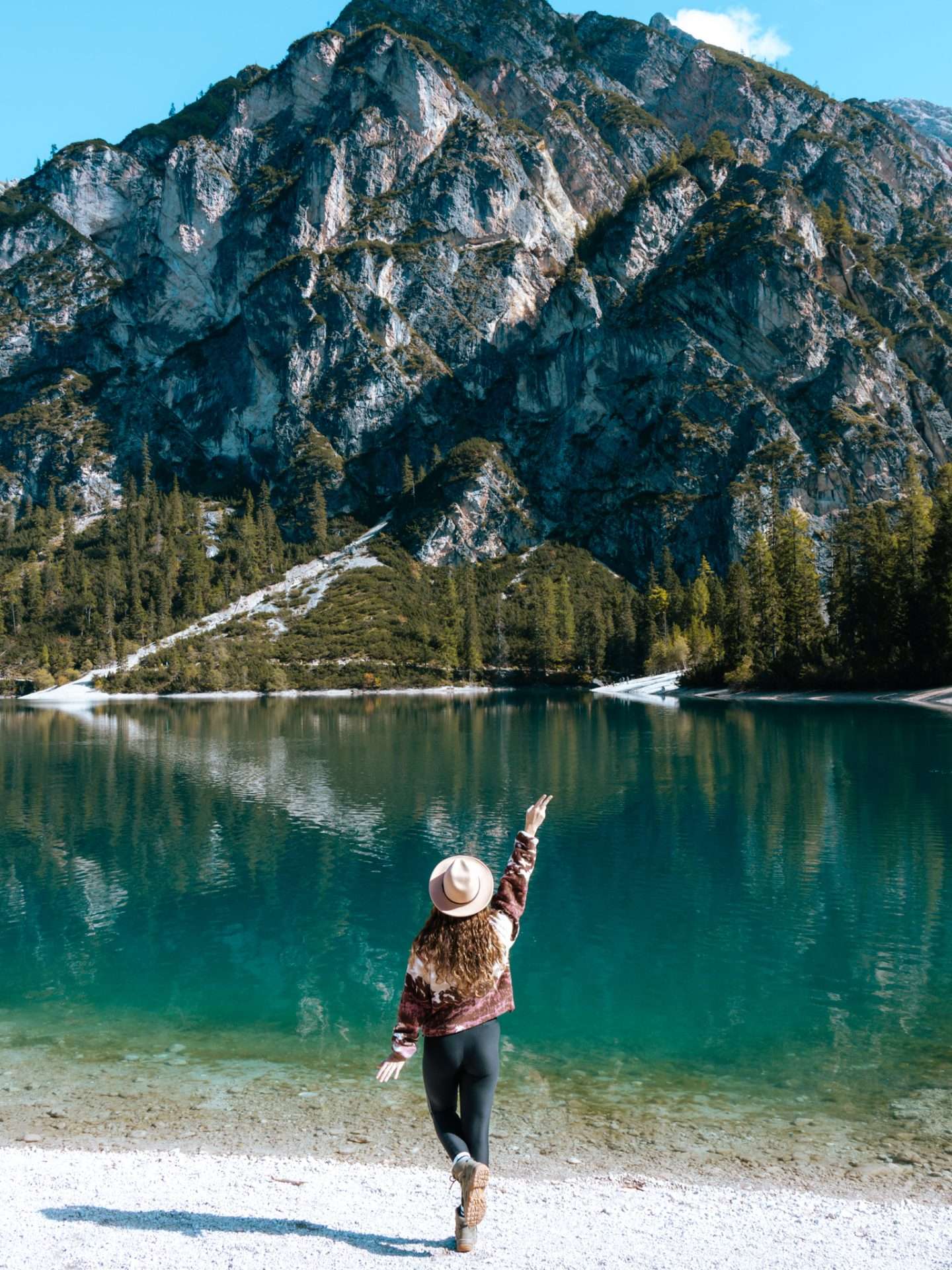
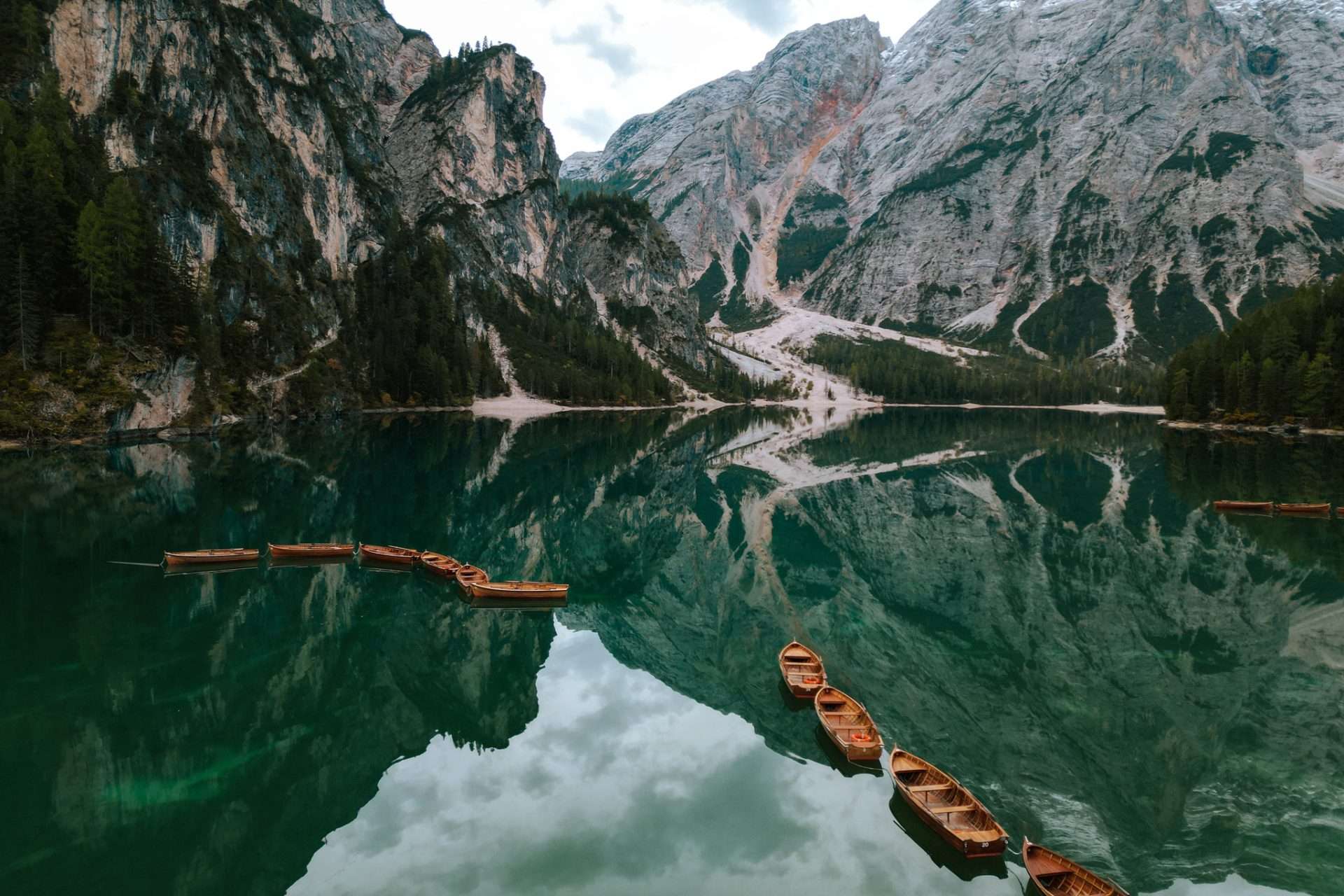
Lago Di Braies is one of the most photographed places in the Dolomites, and when you see it with your own eyes you’ll completely understand why. The iconic wooden pier surrounded by green forests and dramatic mountains in the background makes it a beautiful sight. Many people arrive at the wooden pier and often linger here. Walk around the lake and you’ll soon find it becomes much quieter. So don’t be put off by the amount of people but walk on and above all enjoy the impressive scenery. It is totally worth the hype!

How do you get to Lago di Braies?
Starting point Lago di Braies: Hotel Lago di Braies
The easiest way to visit Lago Di Braies is by car. There is only one road that goes up to the lake, where you have four large parking lots (P1 to P4 with P4 being the closest to the lake). From July 10 to September 10, this road is closed between 09:30 and 16:00, and you can reach the lake only if you have made a reservation in advance. This is to distribute the huge crowds during the high season. If you visit the lake outside these times between July 10 and September 10, you can visit the lake without a reservation. On this website you can reserve a parking space.
7) Lago delle Baste
Level: Medium/Difficult ● Duration: 3 hours ● Distance: 6.5 km (there and back) ● Altimeters: 320 m
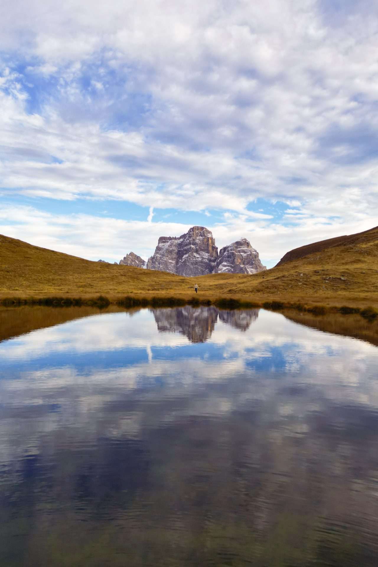
We end this list of most beautiful hikes in the Dolomites with a relatively unknown hike. Lago delle Baste is a small lake hidden in the mountains near Passo Giau. The hike to this lake is short but challenging. The first part of the hike takes you along a mountainside. Then you have to climb a steep section until you are over the ridge and on the Mondeval mountain plateau where Lago delle Baste lies. Once on the plateau you can already see the mountain lake and follow the path to the edge of the lake. Especially during sunset it is spectacular here, with the surrounding mountains reflecting in the lake.

How do you get to Lago delle Baste?
Starting point of hike: Passo Giau
The hike to Lago delle Baste starts at Passo Giau where you can park your car for free. From there you follow the route 436 towards Forcella Giau. This walk overlaps with the Alta Via 1 and once on the mountain plateau you leave the walk to hike towards the mountain lake. Then follow the same route back towards Passo Giau. If you are not sure then we recommend downloading the map offline on Maps.me. That way you can always see if you are hiking in the right direction.
Where to stay in the Dolomites, Italy?
Are you traveling with a rental car then the best places to base yourself are in the pretty town of Ortisei in Val Gardena for the western part of the Dolomites and Cortina d’Ampezza or Sexten or for the eastern part. But all over the Dolomites you will find wonderful B&Bs and hotels. From these towns you can then drive or take the bus (where possible) to the start of the walks.
- Ortisei: Hotel Hell or Hotel Cosmea
- Cortina d’Ampezza: Hotel Corona or Faloria Mountain Spa Resort
- Sexten: B&B Grüne Lanterne or Residence Bad Moos
Want to experience the Dolomites in a unique way? Then head out in a motorhome! Via Goboony you can easily rent a motorhome.
Tips for hiking in the Dolomites
Hiking in the Dolomites is a fantastic experience, but proper preparation really makes all the difference. These are some tips so you can hike in the Dolomites in a hassle-free way:
- Check the weather before you leave: in the Dolomites, the weather can change quickly, even on sunny days. Dress in layers and always bring a raincoat, too, just to be on the safe side.
- Invest in good hiking boots with grip, as many trails are rocky and steep. For steep hikes, walking sticks are also recommended.
- Bring plenty of water and snacks, especially during long or hot hikes.
- Download the map offline via an app such as Maps.Me or GPX on your cell phone. There is not coverage everywhere and this way you can’t get lost.
- Leave early in the day to avoid the crowds and the weather is often less erratic in the morning.
- If you go hiking alone, always let someone know what hike you are going to do and when you should be back.
Best travel time for hiking in the Dolomites, Italy
The best time of year to do these hikes in the Dolomites is from early June to mid-October. During the other months there is a lot of snow and the hikes are not accessible. Most mountain huts also close this period or are only accessible by winter sports. July and August can be very crowded in the Dolomites, though, so try to do these hikes early in the day or in the late afternoon to avoid having to wait for hikes sometimes.
What hike would you like to do in the Dolomites? Let us know in a comment below! Looking for more information about your next trip? Please do not hesitate to contact us or send an email to info@snoezelsontheroad.com


